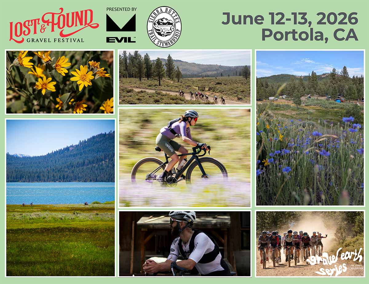
The Ride
The Lost and Found Gravel routes are all new for 2026
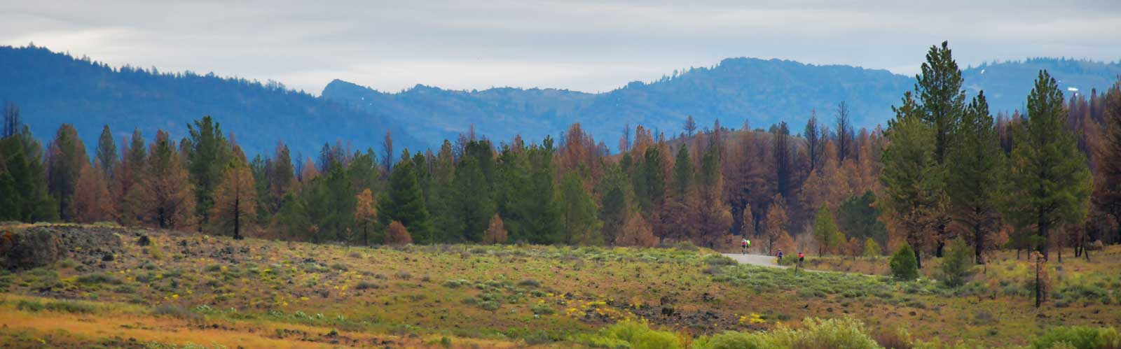
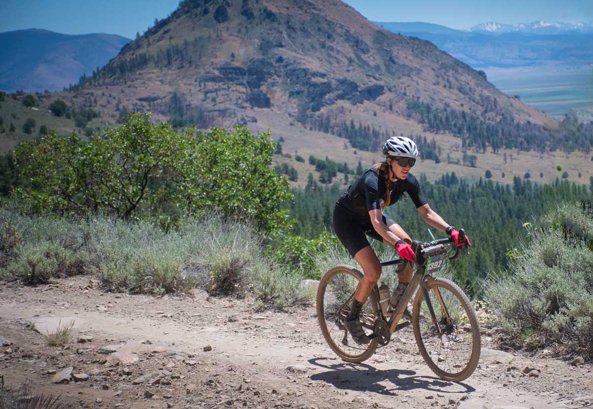
High Sierra beauty awaits, offering a mix of challenging and rewarding terrain, stunning views and epic aid stations. All three distances serve up a rugged and beautiful off-road adventure—Lost Sierra style—so plan your gear and training accordingly. The 2026 courses have a bit of everything, from smooth, fast gravel to chunky Lost Sierra dirt roads and even flowy singletrack for the first time. They’ll also all utilize parts of the Beckwourth-Gennessee Road to add in beautiful riding around Lake Davis, a road that will be familiar to those who’ve participated in the Friday Lake Davis Shakeout Ride in recent years.
“[The course is] Gorgeous. You’re so deep out there and all the wildflowers are popping, the mountains are really opening up, so I get the vibes that this is everyone’s first summer mountain getaway.”
– Peter Stetina, 2025 pro winner
Whats New This Year
- MORE DIRT!
Full Bull: 84% dirt, Mid Moo 70% dirt, Half Calf 60% dirt - SINGLETRACK!
2.4 miles of singletrack near the end of the race - NEW FINISH
Gone is the dreaded pedal against the afternoon wind from Beckwourth to Portola. New finish at Baldwin Park on the north end of town. Racers will slow roll themselves back to city park for the post-race party - Buddy Registration Package
Register as a group of 5 and you all get $25 off the registration fee.
This is the Sierra so plan on running wider tires with more tread. We recommend at least 45mm wide tires (and up to 50mm) for gravel bikes, like WTB Vulpine, Raddler, Riddler or Resolute tires, and riding a light, fast rigid mountain bike with 2.0-2.2 tires wouldn't be a bad choice either, especially if you are more comfortable on a mountain bike. There are lots of rocks and rain ruts crossing the dirt road sections in numerous spots, so when in doubt, check your speed a little.
$3,500 cash purse
- 1st place M/F $1,000
- 2nd place M/F $500
- 3rd place M/F $250

Gravel Earth Series official member 2026.
Table of Contents
- Ride Distance Categories
- Route Maps
- Rider Guide (download this to your phone!)
- Start Times
- Cut Off Times
- Aid Stations
- Gravel Earth Series Rules
- Rules and Common Sense
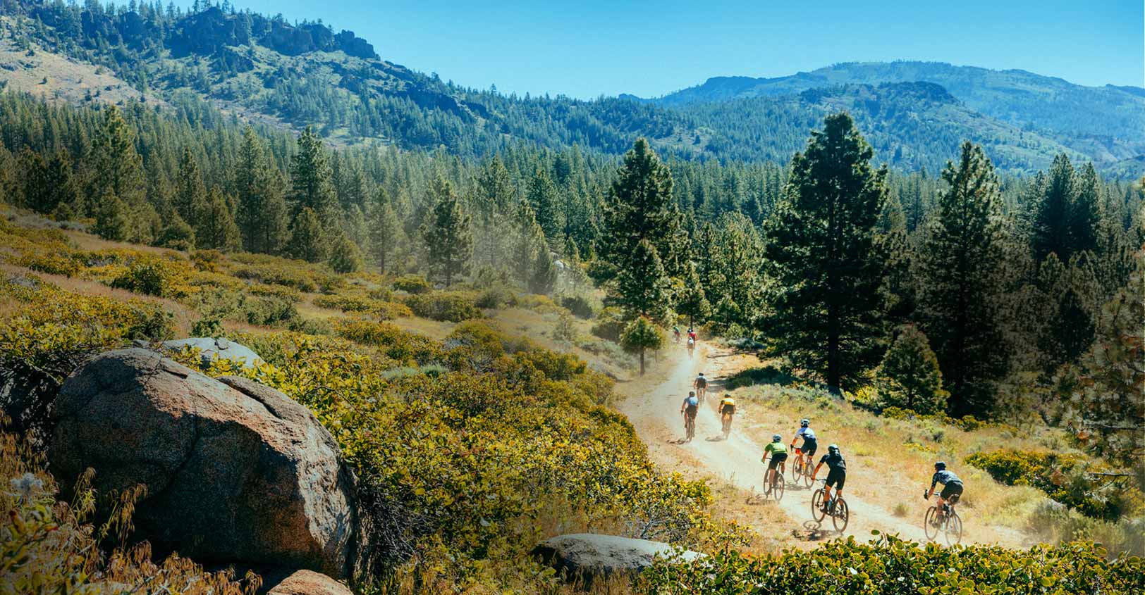
Photo: John Watson for The Radavist
Lost and Found Routes
FULL BULL (long) - ‘Serious Riders and Racers’
99 miles
- 5,946 feet elevation gain
- Distance meant for race-pacers wanting to test their Strava, strength and mettle; and fit rider athletes looking for a strenuous challenge
- 84% dirt
- Route Map
MID MOO (medium) - ‘Adventure Rider’
58 miles - 3,564 feet elevation gain
- Distance meant for a long ride experience while appreciating views and serenity; equivalent to a century road ride
- 70% dirt
- Route Map
HALF CALF (short) - ‘Good Times Rider’
40 miles - 2,850 feet elevation gain
- Distance meant for seeking social, scenic fun ride, laughs, and great views
- 60% dirt
- Route Map
Note that route distances are approximate and within a +/- range of a few miles.
For racer age groups and levels see our registration page.
Google Map to Portola City Park (start)
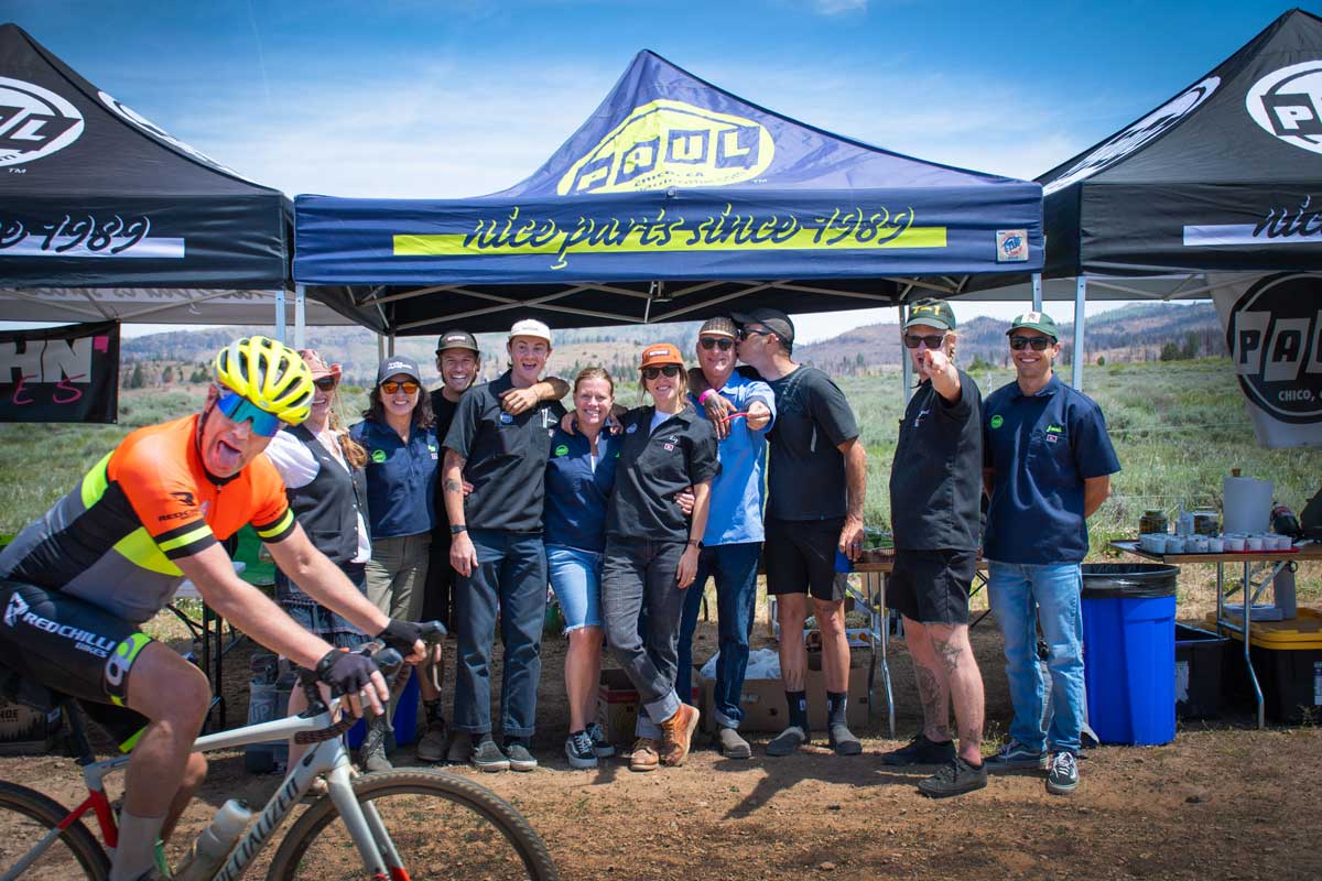
The course features mulitple theme based aid stations
Lost and Found Rider Guide
The Rider Guide will be posted here a week before the event
Lost and Found Rider Guide - 2026
ALL of the race and festival info in one document to take with you!
Review the Lost and Found Rider Guide to make sure you know all the important details on schedule, parking information, course turn-by-turn directions, aid station information, and the required waivers for you to bring at packet pickup. Download to your phone so you have all the details at your fingertips!
Lost and Found Race Director Message
2026 Lost and Found gravel race briefing covering timetable, start procedures, assistance policy, feed zones, surface composition, and key rules.
RIDE START TIMES
All categories will stage at least 15 minutes prior to start time for instructions on completing the ride.
- 7:30am - Full Bull PRO MEN
- 7:45am - Full Bull PRO WOMEN
- 8am - Start as mass rollout for all other Full Bull racers
- 9am - Start as mass rollout for all Mid Moo & Half Calf racers
- All categories will stage at least 15 minutes prior to start time for instructions on completing the ride
- Neutral roll-out start on Highway 70
- Riders need to stay right and not cross the road divider on Highway 70 (during the neutral roll out)
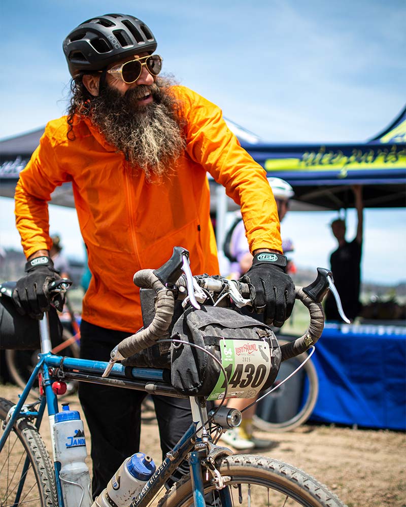
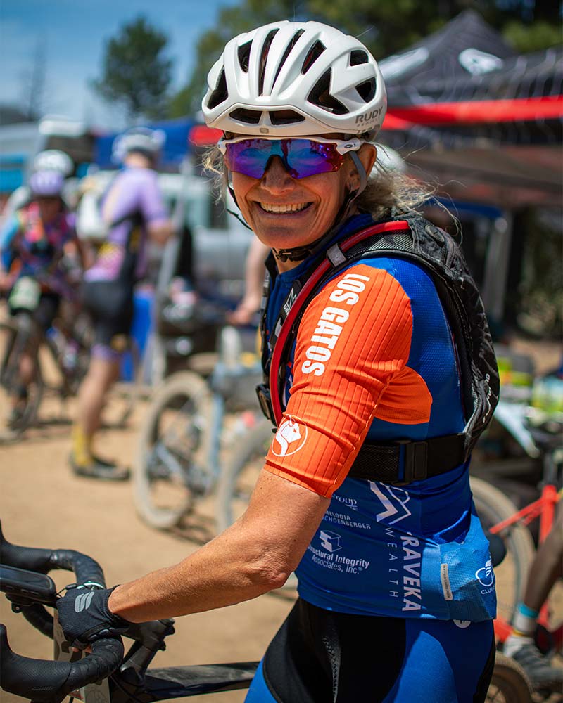
Many will choose to ride, rather than race and take advantage of the views, the libations and the serenity.
There will be a dedicated course sweep for all course lengths.
The Ride will be held rain, shine, sleet or snow. In the event of extreme weather or natural disaster, the ride may be shortened, postponed or canceled without refund.
ROLLING ENCLOSURE:
During a “Rolling Enclosure”, vehicle traffic will be stopped and controlled by course officials and/or law enforcement to ensure rider safety and to keep the peloton moving swiftly. Once the peloton has passed through, the intersection will re-open to vehicle traffic. Rolling Enclosures are estimated to take no more than 10 minutes at each intersection. Riders riding behind the peloton must obey all rules of the road, as there will be no Rolling Closures in place.
CUT-OFF TIMES:
If at any time an STBS staff member, or a member of the emergency response team, determines a rider is physically unable to complete the event within the allotted time frame, you must accept a ride back to the emergency response center at the Portola City Park/Finish area. Course officials reserve the right to remove and “DNF” any rider from the event that is deemed incapable of safely finishing the course for any reason.
If you do not make the cut-off time or are unable for any reason to finish, please DO NOT go through the finish line as it will foul-up our results!
- Full Bull
Aid Station 2: 12:30PM
Aid Station 4: 3:45PM
Aid Station 5: 5PM - Mid Moo
Aid Station 2: 2PM
Aid Station 3: 3:30PM - Half Calf
Aid Station 2: 1:30PM
AID STATIONS:
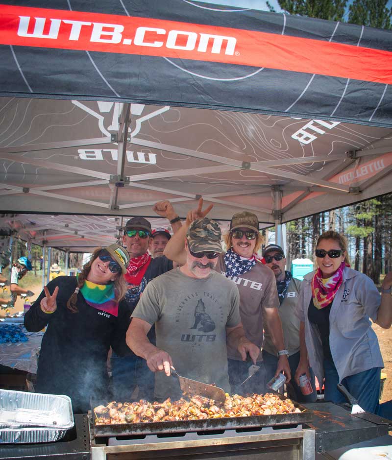
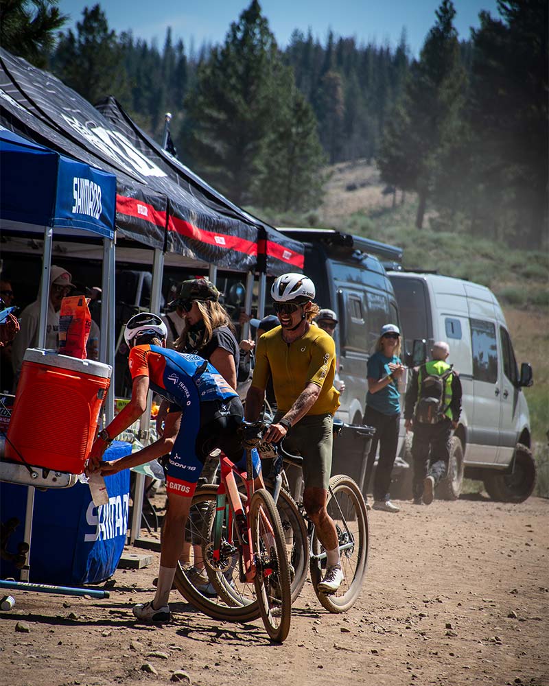
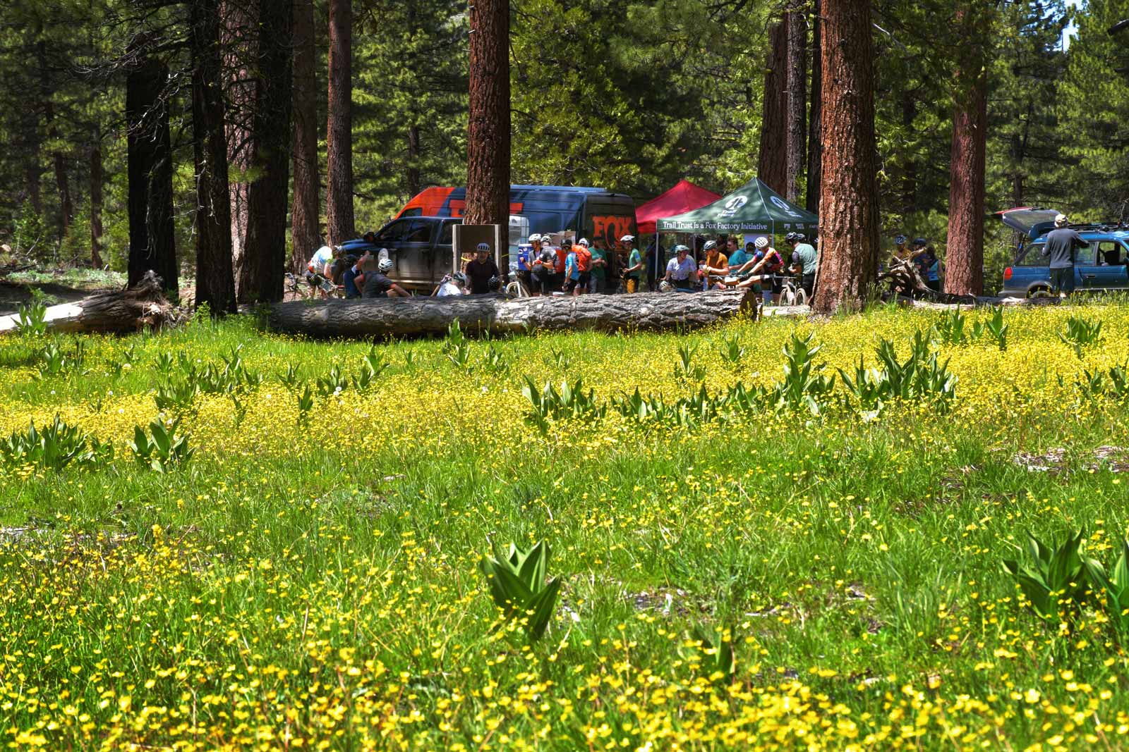
There will be multiple aid stations evenly spaced on all routes. They’ll be stocked with fresh water, energy snacks and all the great items our generous aid station sponsors provide each year.
On-Course Aid Station Locations
Full Bull - 99 Miles
- Aid Station #1 at 20 miles
- Aid Station #2 at 42.9 miles
- Aid Station #3 at 62 miles
- Aid Station #4 at 77.4 miles
- Aid Station #5 at 89 miles
Mid Moo - 58 Miles
- Aid Station #1 at 20 miles
- Aid Station #2 at 36.2 miles
- Aid Station #3 at 47.8 miles
Half Calf - 40 Miles
- Aid Station #1 at 20 miles
- Aid Station #2 at 29.5 miles

Post Ride
- A post event party will be provided for participants after they finish along with food, awards, donation drawing and entertainment. Post-ride meal will be available between 12 & 6 PM.
- Post ride festival details
Rules and Common Sense
Gravel Earth Series Rules
Gravel Earth Series official member 2026.
In accordance with the Gravel Earth Series regulations, the following rules will be instituted for the Pro/Elite category:
- Pro Men may ONLY draft off of Pro Men
- Pro Women may ONLY draft off of Pro Women
- Drafting across genders and categories is prohibited
Rules of the Road
- All riders are required to wear an approved helmet and cannot remove it at any time while riding.
- No support or follow vehicles are allowed. Aid stations will be well stocked and able to handle participant’s needs.
- Riders must ALWAYS obey traffic laws and strictly obey any law enforcement persons or official ride personnel. In the interest of your own safety, you should always assume the same level of vigilance in riding your bike during the event that you would under normal circumstances.
- When passing other riders, use common sense and pass on the left and let yourself be known when doing so. After you pass, resume riding as far right as safely possible. DO NOT PASS riders or vehicles on blind corners.
- Public urination or exposure is, as always, a definite NO-NO. Anyone caught using anything other than a porta-head in the start or finish area or appropriate nature-break facility will be disqualified from the event.
- You are responsible for your own mechanical needs during the event.
- Utilize the aid stations and stock up with the necessary fluids and food you’ll need to get yourself to back the finish area.
- Be prepared for extreme changes in the weather, this is the high country. A light windbreaker at the very least is a good idea. Sunblock is also a must at these altitudes. Ride will take place rain, shine, sleet or snow.
- Entry Refunds? There are no refunds.
- Headphones/ear buds are NOT permitted during a ride.
- Each rider is classified according to their age as of December 31st, the year of the event.
- Equipment: Bicycles cannot have handlebar extensions or additions that mount anywhere EXCEPT the end of the handlebar (ie., bar ends on standard MTB handlebars are acceptable) in other words, NO AEROBARS!
- Riders must respect the directions of all course marshals at all times. If you’re told to stop by a course marshal, moto official, uniformed officer or otherwise, YOU MUST STOP!
- All riders must attend the “riders’ meeting” held at the staging area 15 minutes prior to the event.
- The responsibility of keeping on the prescribed course rests with the rider. A rider may not leave the prescribed course unless ordered to do so by public authorities or a ride official.
- Shortcutting and/or cutting trail switchbacks or course is not permitted and may result in disqualification. A rider is required to stay on the designated route. It is the rider’s responsibility to know the designated ride route. Lack of tape or barriers will not constitute an excuse for cutting the course.
- Laws and ordinances of appropriate jurisdictions shall be observed during participation in the event.
- A rider may be suspended for damaging or destroying public or private property. A rider may be held liable for all costs associated with the damage or destruction.
- Lost & Found officials reserve the right to make changes to the course, delay start times and/or postpone the event as necessary for safety or security purposes or at the request of permit issuers.
- Riders must obey all applicable traffic laws during the event and are encouraged to use common sense, keep their head up and stay in their lane of travel. At no time will there be a closed road.
- For the first 5.6 miles (first paved section) riders in the peloton will have full use of the right lane of travel, but cannot ride left of the yellow line into the oncoming lane at any time during the ride.
- Once the route changes to a dirt road, riders must obey all traffic laws and use common sense, keeping their speed under control.
- Riders should expect vehicle traffic on all roads, along with ATVs, motorcycles, livestock and wild animals. Stay in your lane and follow the rules of the road.
- Once a rider is dropped from the main peloton they must ride as far right as possible in single formation. This applies to both the pavement and dirt sections.
If at anytime an STBS staff member, or a member of the emergency response team, determines a rider is physically unable to complete the event within the allotted timeframe. You must accept a ride back to the emergency response center at the Portola Start/Finish area.
- If you do not make the cut-off time or are unable for any reason to finish, please DO NOT go through the finish line as it will foul-up our results!
- Riders who are not capable of getting back to either the start or finish areas under their own power will be transported by an event “sag” vehicle.
- Course officials reserve the right to remove and “DNF” any rider from the event that is deemed incapable of safely finishing the course for any reason.
MORE INFO: This event is under special use permit with the Plumas National Forest. Non-Discrimination Notice. In accordance with Federal law and U.S. Department of Agricultural policy, this institution is prohibited from discriminating on the basis of race, color, national origin, sex, age or disability. (Not all prohibited bases apply to all programs.) To file a complaint of discrimination, write USDA Director Office of Civil Rights, Room 326-W, Whitten Building, 1400 Independence Avenue, SW, Washington, D.C. 20250-9310 or call (202) 720-5964 (voice and TDD). USDA is an equal opportunity provider and employer.